R11 Entre Vignes Lavandes et Truffières
Richerenches · 45 min by car (40 km)
Easy level hiking loop that will take you through the Richerenches countryside. On the program: Vines, truffle fields and lavender! The crossing of the…
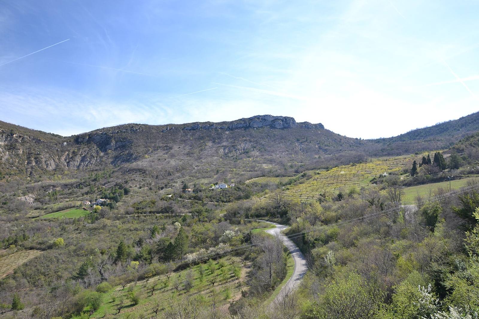
Richerenches · 45 min by car (40 km)
Easy level hiking loop that will take you through the Richerenches countryside. On the program: Vines, truffle fields and lavender! The crossing of the…
L'Épine · 45 min by car (50 km)
With your family, discover nature and learn to easily recognise the fauna and flora with ecoBalade. This varied tour will let you enjoy a gorgeous panoramic…
Rasteau · 50 min by car (40 km)
The Rasteau hike offers superb panoramic views of northern Vaucluse, the Dentelles de Montmirail and Mont Ventoux in the background.
Aurel · 50 min by car (41 km)
With small plaques in front of each plant, this botanical trail presents the main species of Provencal vegetation.
Aurel · 55 min by car (43 km)
Trail during which you will discover the main species typical of Provençal vegetation.
Bédoin · 55 min by car (48 km)
Moutain Bike - Les Baux - 12km - Altitude change 270m
Sault · 55 min by car (46 km)
Immerse yourself in the fascinating history of 6 Sault lavoirs, modest yet emblematic buildings that played an essential role in the daily lives of our…
Bédoin · 55 min by car (50 km)
Mountain Bike - Le Rat - 39km - Altitude change 1038m
Bédoin · 55 min by car (50 km)
VTT - Le Pavillon de Rolland - 21km - Altitude change 650m
Bédoin · 65 min by car (58 km)
Distance: 25km - vertical drop: 1600m - level: difficult - road signs: red (official FFC) - start: Mont Ventoux - col des tempêtes
Bédoin · 70 min by car (61 km)
Playful discovery trail in the Perrache forest. Follow the adventures of Tilou and Marcou and discover the mountain's inhabitants, young and old. A pleasant…
Valdrôme · 70 min by car (61 km)
7 interactive stations along the way will help you understand the evolution of the landscape, discover the different hamlets of Valdrôme and the flora and…